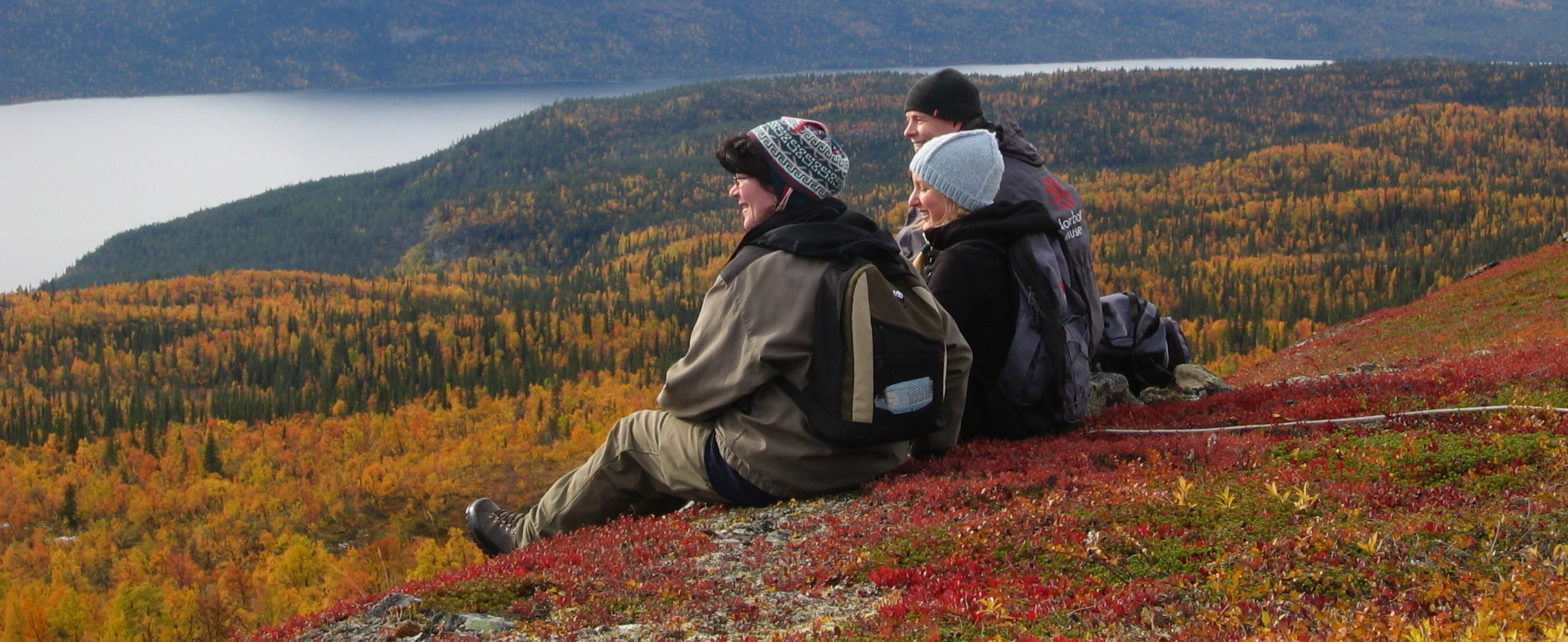
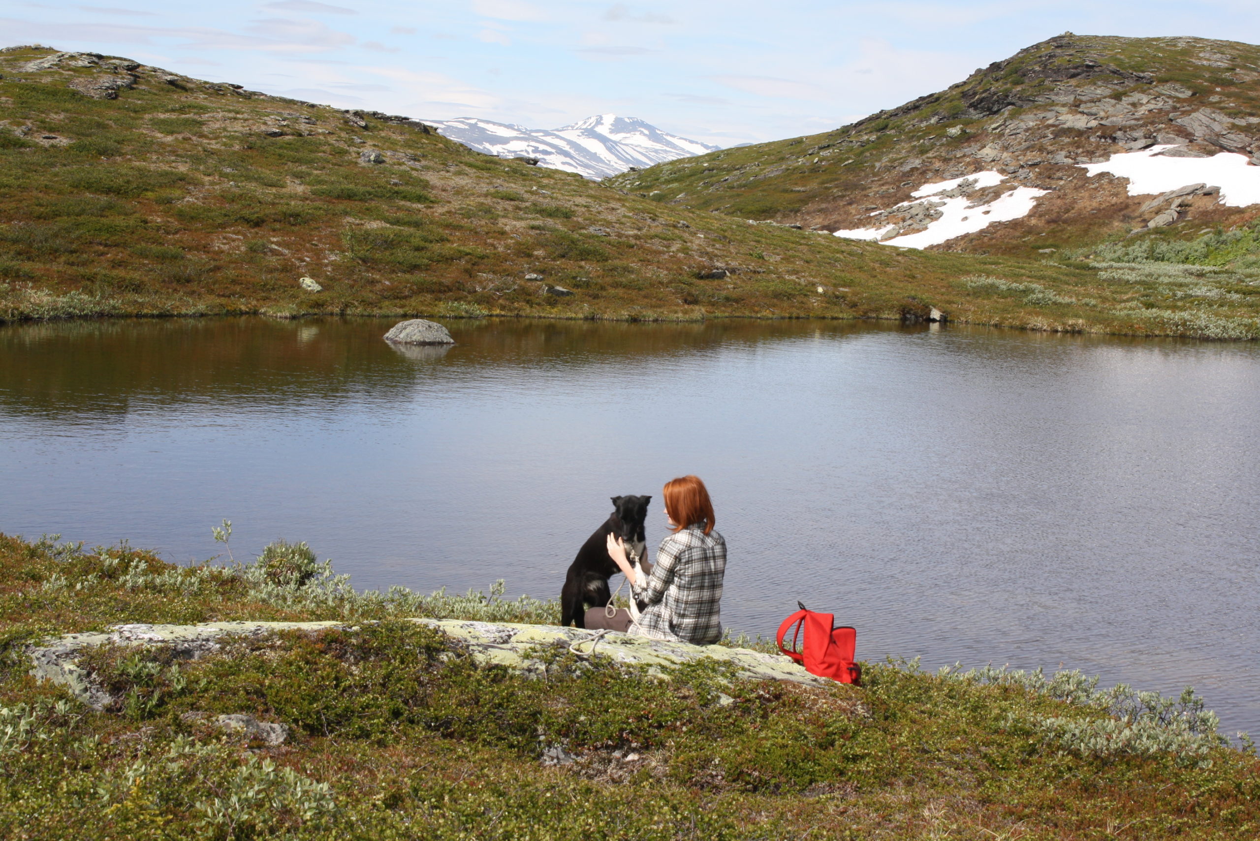
Hiking
DAYTRIP HIKING WITH STARTING POINT ÅRRENJARKA
At Årrenjarka you’re always near beautiful daytrips in wonderful nature. Below we provide some examples of hiking trips.
Postleden Årrenjarka – Kvikkjokk
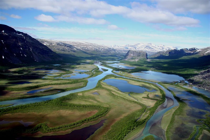
Full day trip. At sometime seep trails ascending Kassavare. This hiking trail, ”Gamla Poststigen”, is also suitable for shorter trips. After 3 km you’ll arrive at the stream Årrenjåkkå. There you have a resting place and shelter and a fireplace. The hiking continues through primordial forest into Kvikkjokk – Kabla nature reserve. Ancient mire’s lies ahead. Length: 22 km. At the mire Ruska you find the next resting place with wind shelter and fireplace. The road turns into a steep ascent at Stournjåske. An abundance of different flora accompany you towards Kassavare. At the top of the mountain range lies the reward; a grandieur vista over valleys, mountain ranges and the montain peaks of Pårtefjällen in Sareks national park. The trail continues over Kassavare towards Snjerak with beautiful views over the Kvikkjokk delta before descending towards Kvikkjokk.
Nature trail with information
Combine your hiking with an educational experience! During the first 9 km of the trail between Årrenjarka and Kvikkjokk, you’ll find an exciting nature trail with 20 information points. The trail goes from bare ground to pine forest to birch forest and the information points describe the surroundings. The book can be purchased at our reception desk.
Ailatis - Predikstolen
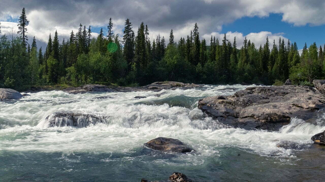
After a boat trip over the lake Saggat you follow a marked trail up on the mountain Ailatis. The trail partly goes through the Pärlälvens nature reserve. Here you find a breathtaking view over mountains, forests and lakes. Resting place with shelter is placed along the trail. Steep ascending. Length: 6 km.
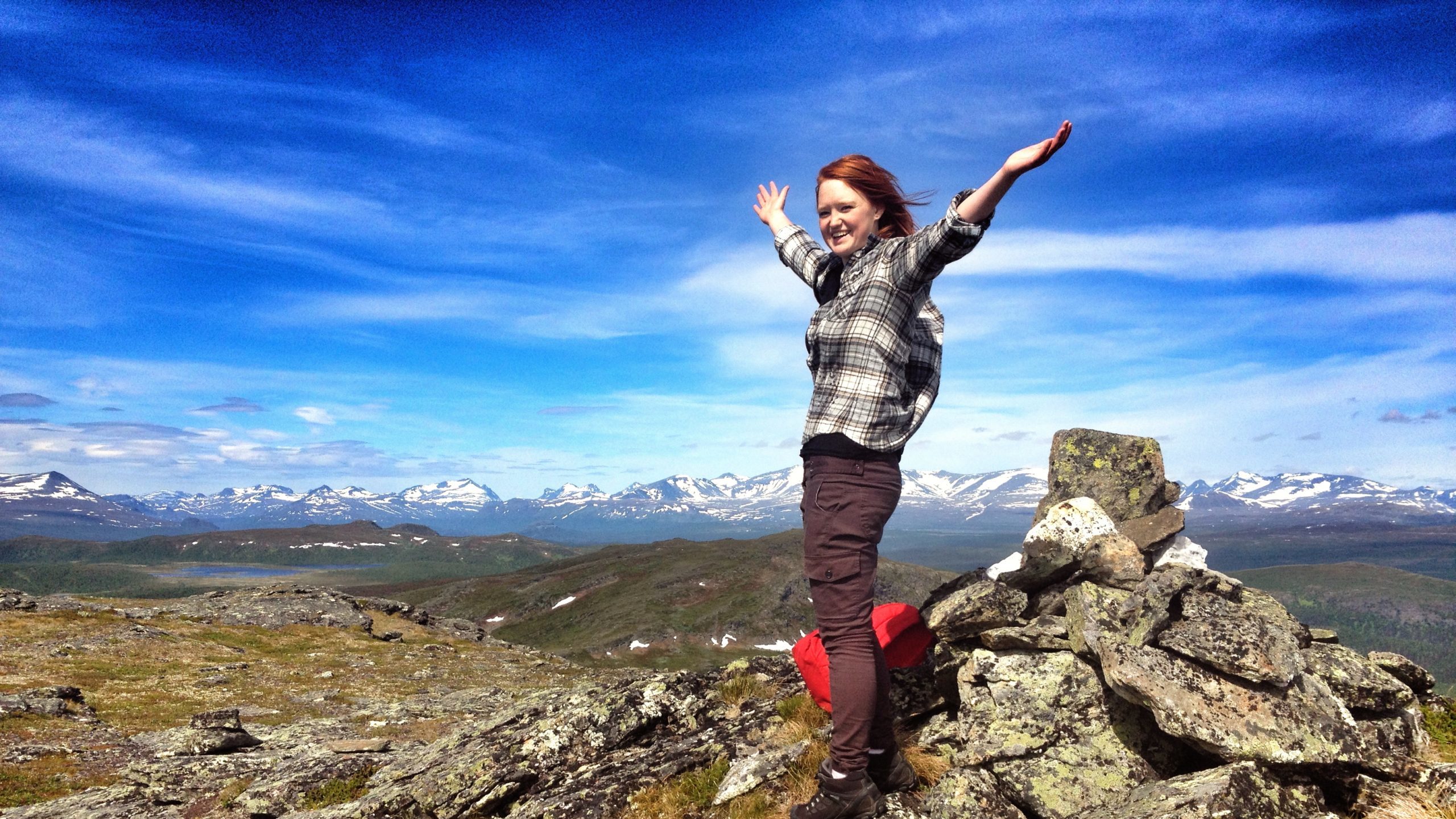
Årrevare
Pending between easy to medium difficulty up the mountain of Årrevare, 522m above sea level. A well staked out trail. Vantage points over the mountain peaks of Sarek. On the mountain top there’s a wind shelter and fireplace with beautiful vistas over Pärlälvens nature reserve, lakes and landscapes.
Björnviken 4 km easy trail, well staked out trail. Nice hike along the lake Saggat towards the pebble beach at Björnviken at the foot of Årrevares. Fireplace.Length: 5 km.
A Click For the Forest
After a boat trip to the south side of the lake Saggat, you follow a marked trail into the Änamus forerst to ”insamlingstiftelsen” A click for the forest’s own forest that they bought 2005. The forest is classed as a key biotope area by Skogsstyrelsen and considered as one of a kind. The beautiful primordial forest is now protected for ever. Easy trail. Length: 3 km..
KUNGSLEDEN
Kungsleden is Swedens oldest and most famous hiking trail. 434 km long, it trail from Abisko in Norrbotten to Hemavan in Västerbotten. Kungsleden is very well traversed with a very well infrastructure of cabins. There is no cabins south of Kvikkjokk the first 55 km, so make sure you’re equipped with a tent.
Download the app Naturkartan, and get detailed information and maps of Kungsleden in your phone.
More information can be found at Svenska Turistföreningen who manage the cabins along the trail.
Utsidan.se is also a great source for information. We can recommend kartan, where members can share their trails from their own hiking excurions. You can download almost all as .gpx files to your mobile or as GPS.
If you are to travel Kungsleden southbound from Kvikkjokk, you have to cross Tarra river, that have no bridge. Shuttle boats are active the whole summer season, for more info check out Boatshuttle in Kvikkjokk.
PADJELANTALEDEN
The Padjelant trail is 160 km and embark from Kvikkjokk, through Tarra valley Badjelánnda / Padjelanta national reserve, towards Ritsem. The trail is marked and there are overnight cabins along the entire trail.
Download the app Naturkartan, and recieve detailed information and maps over Padjelanta trail in your phone.
Find more information about Badjelánnda / Padjelanta national reserve on the websites Sveriges Nationalparker, Länsstyrelsen och Laponiaförvaltningen.
In the national reserve the cabins along the Padjelant trail is managed by Badjelánnda Laponia Turism ekonomiska förening, that consist of members from the Sapmi villages Sirges, Jåhkågasska och Duorpon. On their webpages you find detailed information about the cabin’s locations, price, payment and opening hours.
Information finns också hos Svenska Turistföreningen som driver stugorna längs de
n del av leden som går genom Tarradalen.
På Utsidan.se kan man också hitta bra information. Ett tips här är kartan, på vars medlemmar kan dela med sig av färdspår från olika vandringar. Dessa kan man i många fall ladda ner som .gpx filer till sin mobil eller GPS.
Om du ska gå Padjelantaleden från Kvikkjokk, är du tvungen att korsa Tarraälven, vars det inte finns någon bro. Båtskjuts går på reguljära tider hela sommarsäsongen, kolla på webbsidan Båttrafik i Kvikkjokk.
Sarek
Hiking in Sarek’s national reserve is advanced level and no something inexperienced hikers should try. It is challenging in the way that there are no marked trails or cabins to say in. Hikers must have proficiency in orientation and navigation in wilderness, as well as have right equipment and experience to traverser rivers and streams on foot. If you are to embark to Sarek you need to have plenty of time, and have situational awareness to change route after weather conditions.
Read more about Sarek on the webpages Sveriges Nationalparker, Länsstyrelsen and Laponiaförvaltningen.
If you wish to hike into Sarek there are two starting points in our vicinity.
From Kvikkjokk, hike along Kungsleden northbound and Startar du i Kvikkjokk, kan du gå Kungsleden norrut walk towards Boarek/Pårek. You can also enter through Tarradalen/Padjelanttaleden or over the mountain Vállevárre. The shortest way is in total 10 km along Kungsleden before you stand at the gate to the national park. If you instead chose to travel westbound, you’re forced to cross Tarra river and Gamajåhkkå that have no bridges. Shuttle boats traverse the rivers all summer season, for more info see the website Boat shuttle in Kvikkjokk.
Another alternative is to start the journey into Sarek Sitoälvsbron. Travel is possible with car via the power plant dam in Siejdevárre. If you arrive by bus from Jokkmokk, you have to disembark in Tjåmotis and ask for lift. Lasse Östlund in Tjåmotis usually assist with this, call him on 070-335 14 41. You can find Information about boat shuttle to Aktse over the lake Laitávrre on the website Aktsebo.
Ther is also plentiful of tips and inspiration on where you can hite and bucket lists in the Facebook group SAREK Nationalpark (Delade foton/tips & upplevelser). The members are very experienced when it comes to travel throgh Sarek, and are more than willing to share their advice.
På Utsidan.se kan man också hitta bra information. Ett tips här är kartan, på vars medlemmar kan dela med sig av färdspår från olika vandringar. Dessa kan man i många fall ladda ner som .gpx filer till sin mobil eller GPS.